Aerial Solutions
Comprehensive drone services tailored to your industry needs. We combine hardware excellence with software intelligence.
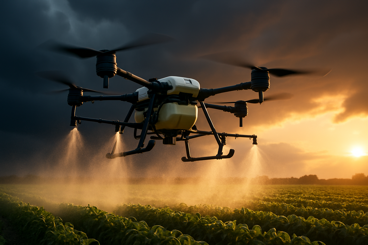
Precision Agriculture
Optimize crop yields and reduce resource waste with our advanced agricultural drone solutions.
Multispectral Imaging
Automated Spraying
Crop Health Analysis
Field Mapping
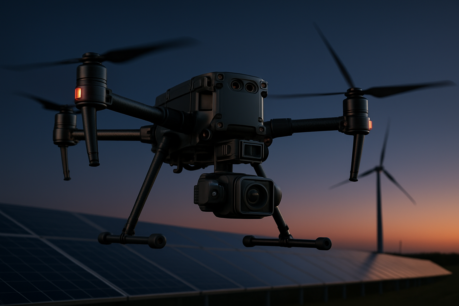
Industrial Inspection
Conduct safe and detailed inspections of critical infrastructure without risking human lives.
Thermal Imaging
3D Modeling
Crack Detection
Asset Management
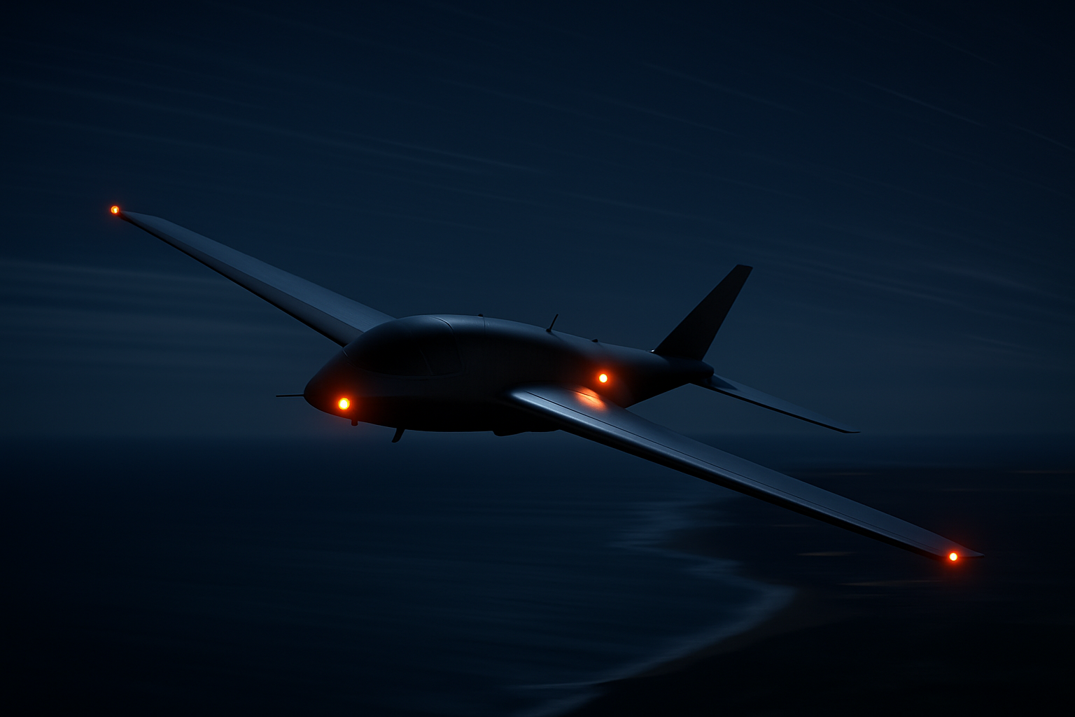
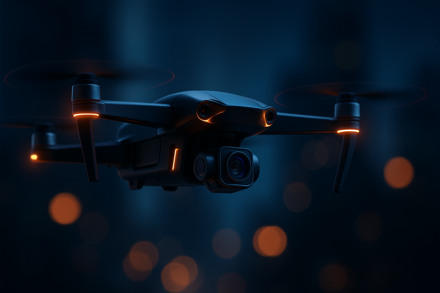
Security & Surveillance
Enhance perimeter security and situational awareness with persistent aerial monitoring.
Night Vision
Object Tracking
Perimeter Patrol
Real-time Streaming
How We Work
From initial consultation to final data delivery, our process is designed for transparency and results.
01
Consultation
We analyze your requirements and propose the best drone solution.
02
Planning
Flight paths and safety protocols are mapped out meticulously.
03
Execution
Our certified pilots execute the mission with precision.
04
Delivery
Processed data and reports are delivered securely.